
LiDAR Scanning
Accurate digital capture of real-world environments.
Turn existing buildings, plant and equipment into precise point clouds, CAD models and project-ready information.
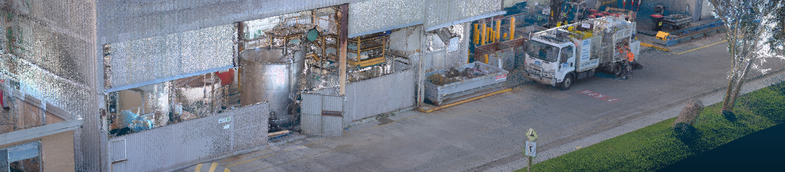
What is LiDAR Scanning?
LiDAR stands for Light Detection and Ranging. It uses laser pulses to capture millions of accurate measurement points, creating a detailed three-dimensional record of a building, site, structure or piece of equipment.
The resulting point cloud can be used for existing-condition surveys, design coordination, refurbishment, reverse engineering, BIM and Scan-to-CAD projects.
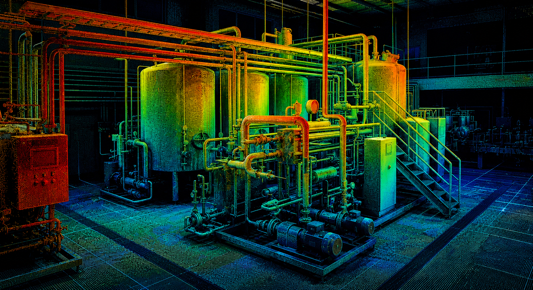
REALITY TO POINT CLOUD
Accurate 3D Scans
Capture the real world with millimetre-level accuracy.
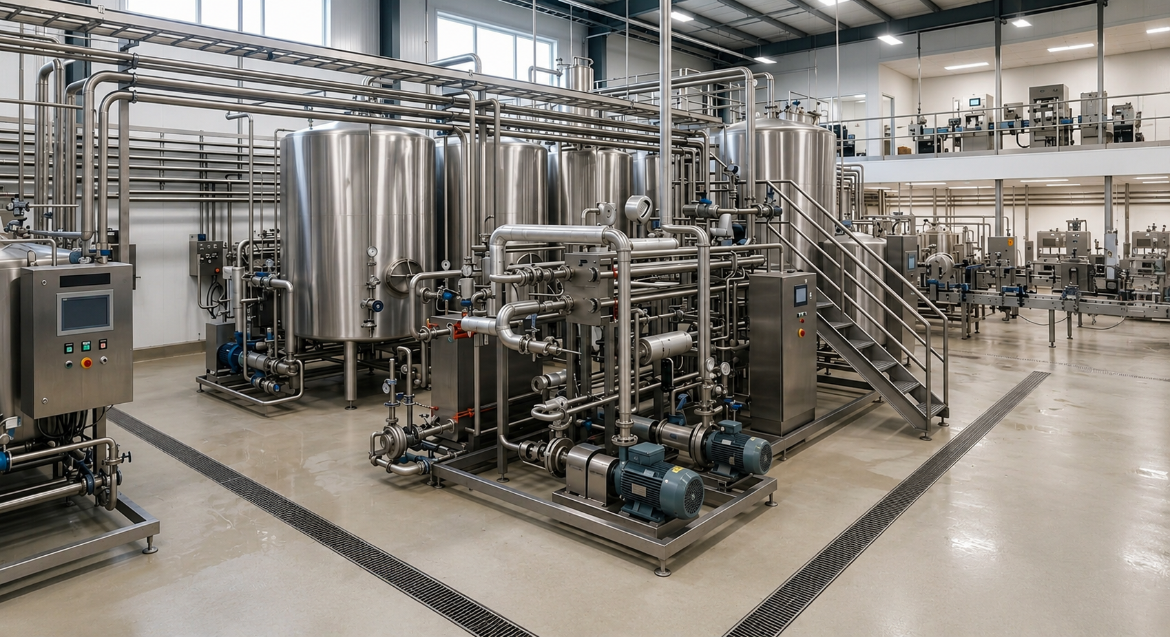
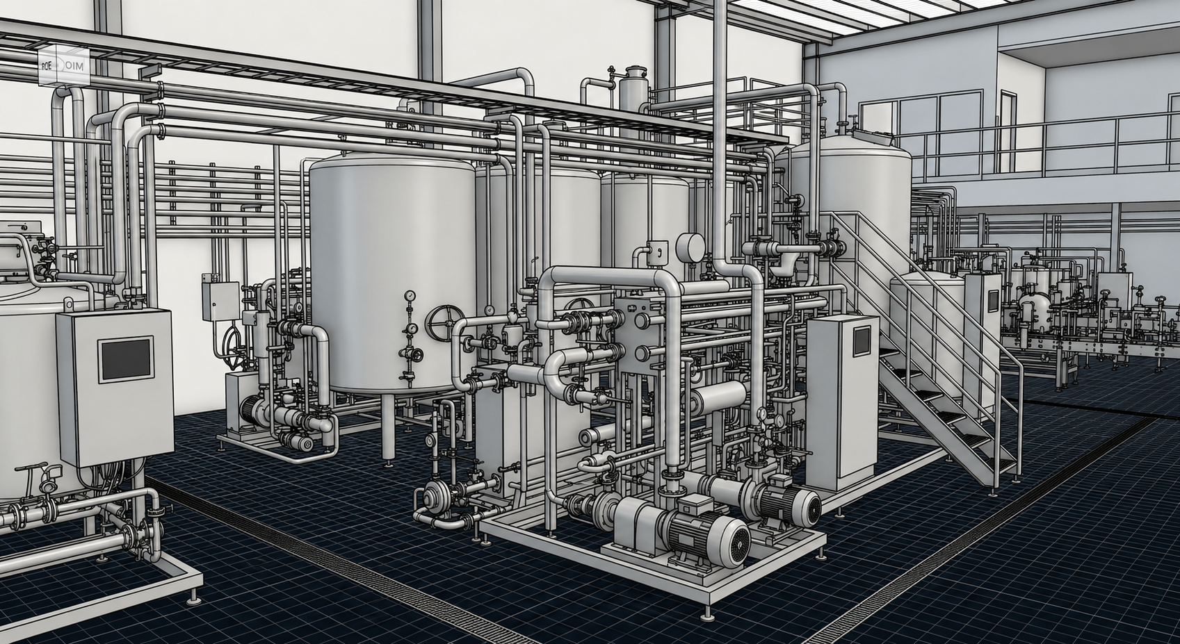
SCAN TO CAD
From 3D Scans to CAD Computer Models
Transform captured point-cloud data into accurate, editable CAD models.
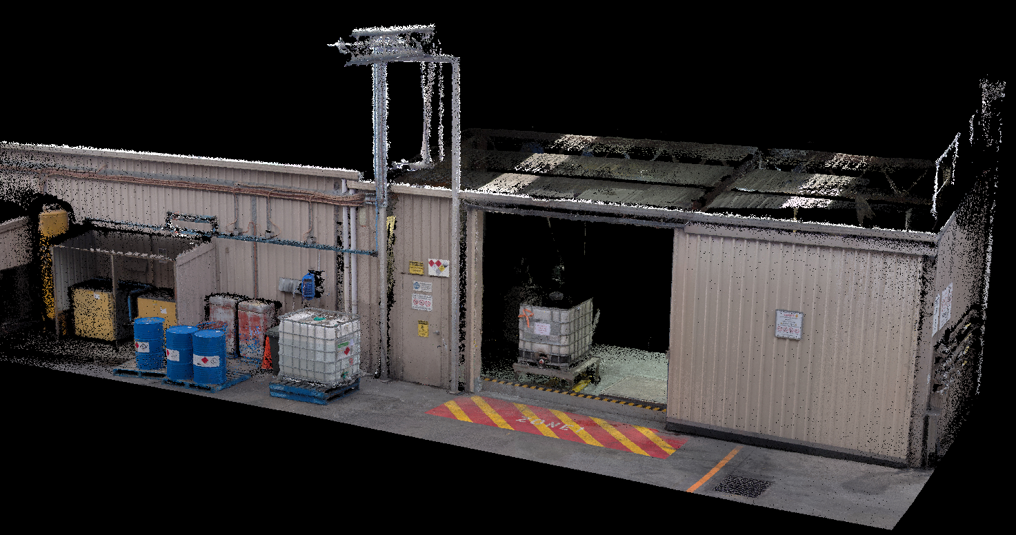
REAL PROJECT CAPTURE
Real LiDAR Scan
A detailed point-cloud capture of an existing industrial facility.
Technology
Modern spatial capture and modelling.
LiDAR
Light Detection and Ranging captures accurate 3D measurement data using laser pulses.
BIM
Building Information Modelling creates coordinated digital building information for design and construction.
SLAM
Simultaneous Localisation and Mapping enables mobile scanners to map while tracking their position.
RTK Fusion
Real-Time Kinematic positioning uses GNSS corrections to improve geospatial accuracy outdoors.
3D Gaussian Splatting
Creates immersive photorealistic 3D views suited to property presentation, real estate and virtual walkthroughs.